
Pictures Klem Williams
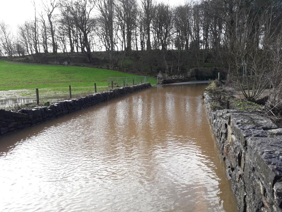
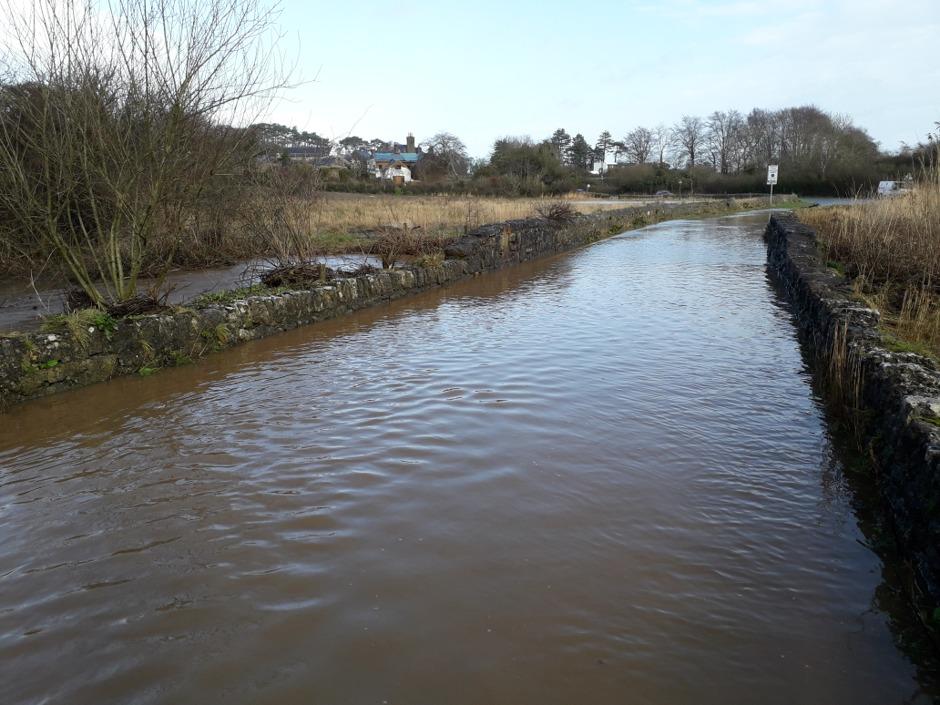
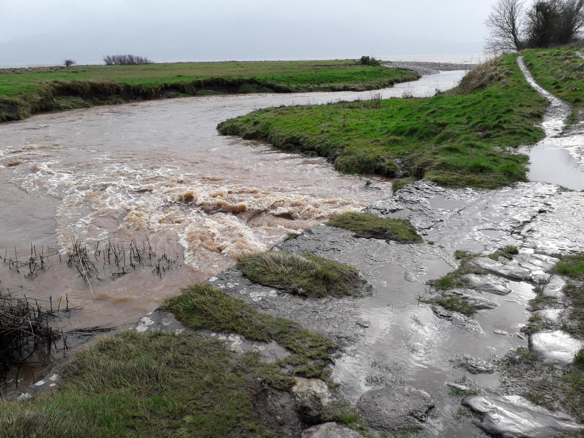
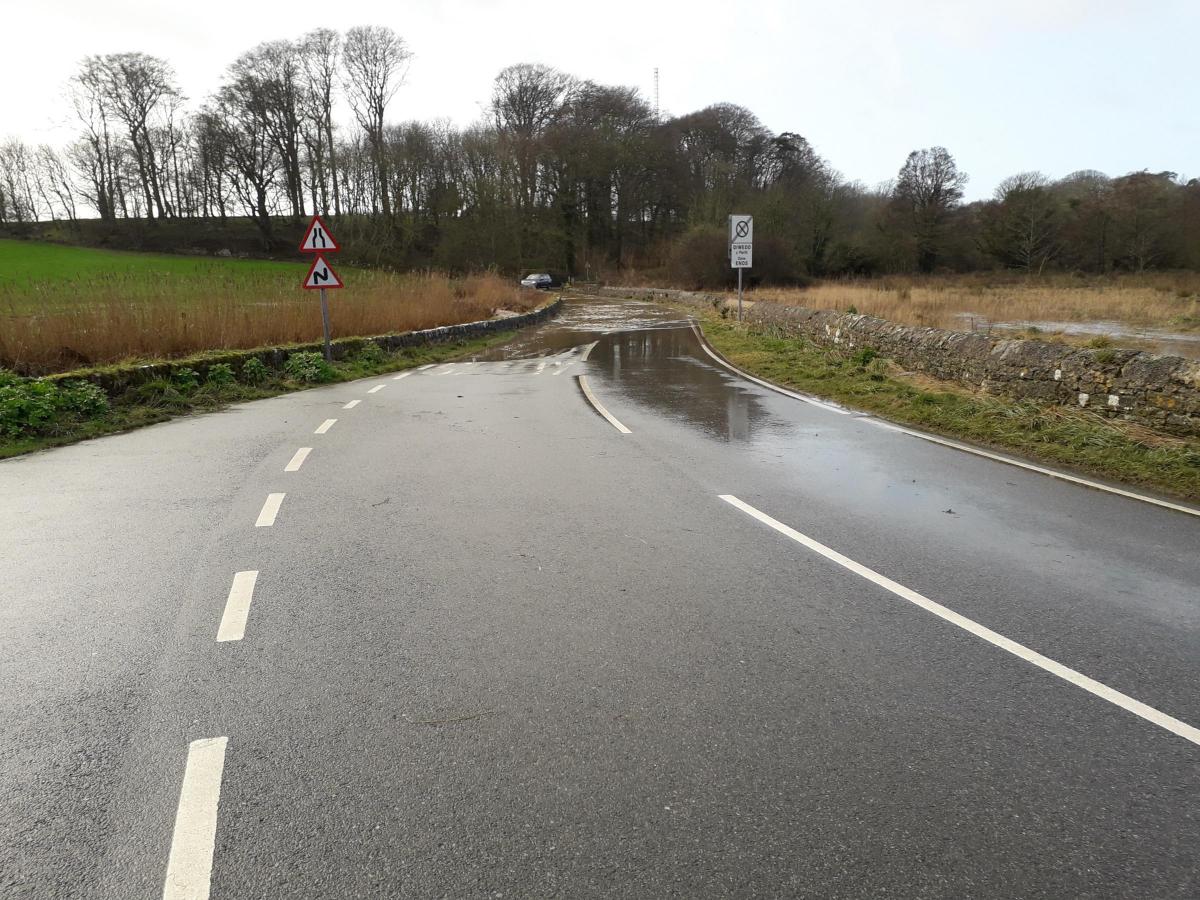
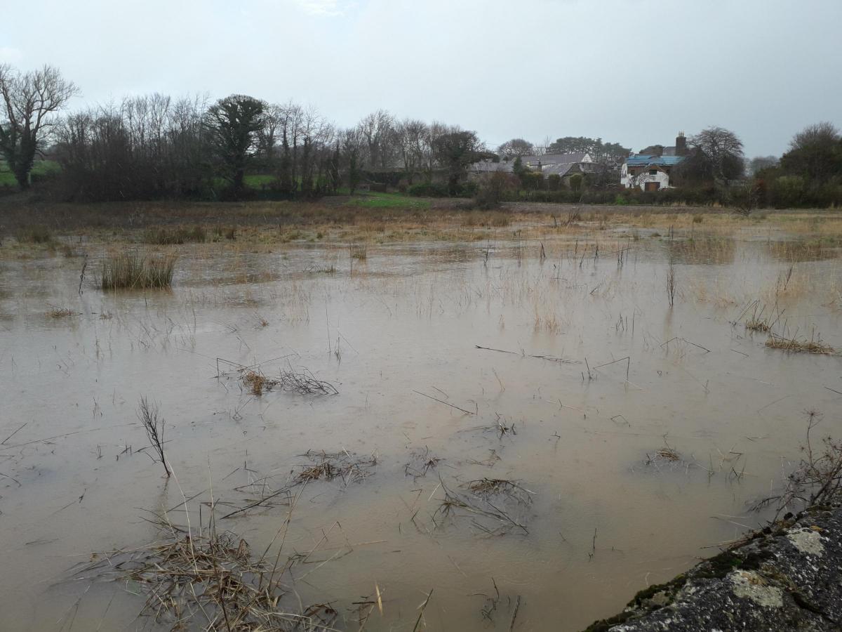
A ROAD in the Llangoed area could be mistaken for a flowing river.
These images are of the route which runs from the junction of B5109 at Llangoed, going towards Lleiniog beach and the carpark area.
Following Storm Ciara, which brought high winds and heavy rain, coinciding with high spring tides the road is now around 2ft under water.
Nearby fields are also deeply submerged.
Parts of the village has also experienced a power outage due to the weather.
With flooding all over North Wales following the massive storm warnings have gone out to people to not drive through flood waters.
The North Wales Fire and Rescue Service has Tweeted:
"Never attempt to drive through flood water - road warning signs are there to protect you so don't ignore them. Avoid flooded roads - find an alternative route."


Comments: Our rules
We want our comments to be a lively and valuable part of our community - a place where readers can debate and engage with the most important local issues. The ability to comment on our stories is a privilege, not a right, however, and that privilege may be withdrawn if it is abused or misused.
Please report any comments that break our rules.
Read the rules here